
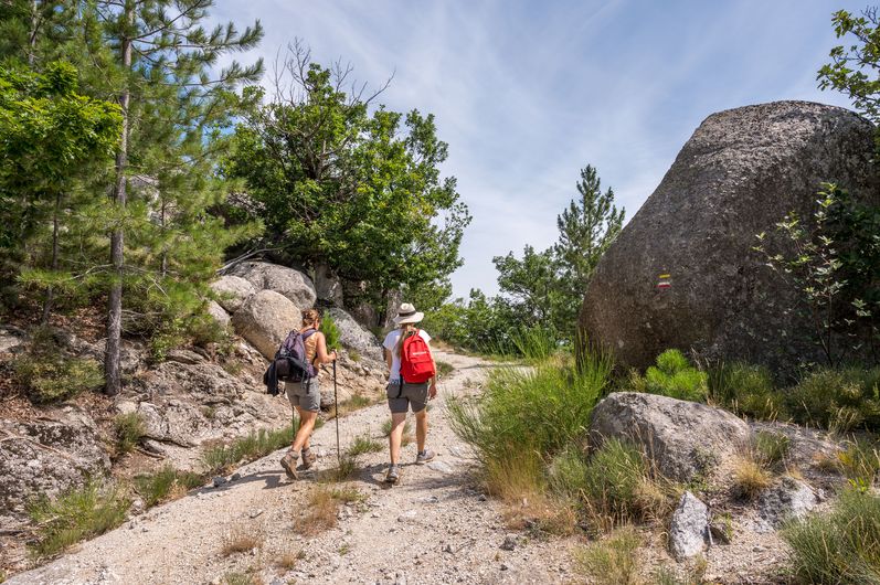
The paths of Mont Lozère
Description
Signposts will guide you all along this route. In the description below, the signposted place names and/or directions are given in bold italics between quotation marks :
From "Concoules", go to :
- “Cimetière”,
- “Lavoir”,
- “Le rocher des Fées”, go right to “Rocher Communal” via :
- “La Lozère”,
- "Longuefeuille",
- “Rocher Communal”. Then return to “Concoules” via :
- “Les Besses”, then “Le rocher des Fées”, “Lavoir”, “Cimetière”.
This hike is taken from the guidebook Mont Lozère – Pays des sources, Sommet des Cévennes, published by the Pôle de pleine nature du Mont Lozère.
- Departure : Concoules
- Arrival : Concoules
- Towns crossed : Concoules and Ponteils-et-Brésis
Forecast
Altimetric profile
Recommandations
Make sure your equipment is appropriate for the day’s weather conditions. Remember that the weather changes quickly in the mountains. Take enough water, wear sturdy shoes and put on a hat. Please close any gates and barriers behind you.
Information desks

Tourism'house and national parc, Génolhac
Place du Colombier, 30450 Génolhac
This office is part of the National Park's associated tourist-information network, whose mission is to provide information on, and raise awareness of, the sites and events as well as the rules that must be observed in the National Park's central zone.
Open from april to october
Transport
LiO is the regional public transport service of the Occitanie/ Pyrénées – Méditerranée region. It facilitates everyone’s movements by prioritising public transport. For more information, go to the lio Occitanie app or visit https://www.lio-occitanie.fr/
Access and parking
From Alès take the D906 to Chamborigaud, Génolhac, Col de l’Ancise, Concoules.
Parking :
Source


Report a problem or an error
If you have found an error on this page or if you have noticed any problems during your hike, please report them to us here: