
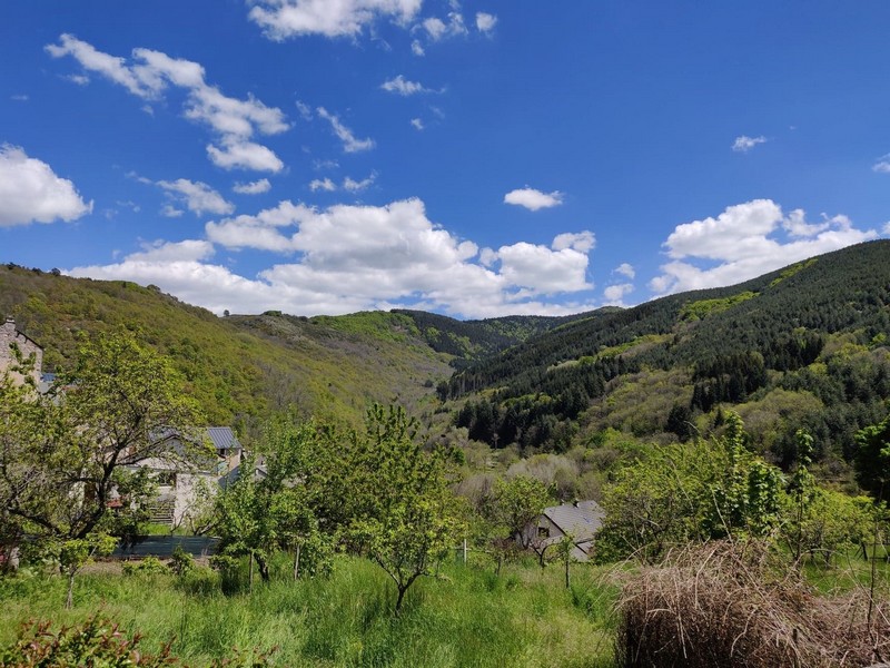
Road bike circuit #3
A there-and-back circuit that is ideal for a bike trip.
From the pass, views open up over the Aveyron department and the valley and cliffs of Le Trevezel.
2 points of interest
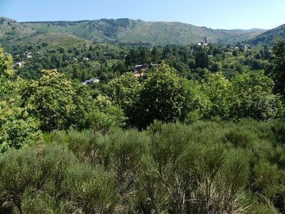
Vue sur Dourbies - nathalie.thomas 
Dourbies
The village of Dourbies was built on a ridge to maximise the flatter soils for cultivation. Farming having declined in the valley, fields that were once cultivated have now been urbanised, and broom heath is invading more and more land.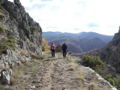
Vue sur le Lingas - nathalie.thomas 
The Dourbies gorge
The path comes out on the Dourbie gorge. Opposite you, the western part of the high granite plateau of the Lingas joins up on its right with the limestone plateau called Causse de Larzac. On your right, you can see the granite dome of Saint-Guiral. Closer to you, in the vales that converge on the Dourbie, are the former crop terraces, pastureland, the village built on the riverbank at the valley’s widest point and finally the chestnut orchard. You are seeing the upper limit of its range, which corresponds to it maximum altitude in this zone (800 m).
Description
From the village of Dourbies, head for Nant and Trèves on the D151. At the Col des Rhodes pass, turn around and return to Dourbies.
- Departure : Village of Dourbies
- Arrival : Village of Dourbies
- Towns crossed : Dourbies and Trèves
Forecast
Altimetric profile
Recommandations
Before committing yourself to a circuit, ensure that it is suitable for your activity level and ability. Respect traffic laws and other road users; stay in control of your speed and trajectory. Make sure to be seen and travel in single file when in a group. Remember that the weather changes quickly in the mountains. Take enough water. Safe trip !
Information desks

Tourism & national parc'house
Col de la Serreyrède, 30570 Val d'Aigoual
The Maison de l'Aigoual houses the tourism office Mont Aigoual Causses Cévennes and the Maison du Parc national. This visitor centre provides information on and raises awareness of the Cévennes National Park, its sites and events as well as the rules that must be observed in the National Park's central zone.
On site: changing exhibitions, video projections, Festival Nature events and shop Open year-round
Access and parking
From Valleraugue, take the D986 to L’Espérou. Drive through the village and continue to Dourbies on the D151.
Parking :
Source


Report a problem or an error
If you have found an error on this page or if you have noticed any problems during your hike, please report them to us here: