
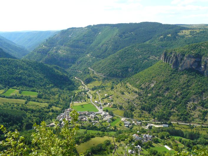
The Causse de Canayère plateau
This path between limestone and schist bedrock helps you to imagine the folds, collapses and faults that have affected this region in geological time. You walk past fault lines, along which the land has sunk by several hundred metres, and overlook a river that has been carving out its gorge for almost three million years. The path’s various stopping places also showcase humanity’s influence on the environment and landscape since prehistoric times.
8 points of interest
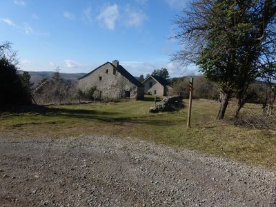
Canayère - nathalie.thomas 
Canayère
A former farm turned forester's house in 1880. In the early days of the Mont Aiguoal reforestation, forestry officers lived here year-round during their missions. Forestry workers working on the replanting were allowed to use the outbuildings. Later, only one official resided here. Since 1967, no official has permanently lived here. (B. Mathieu)
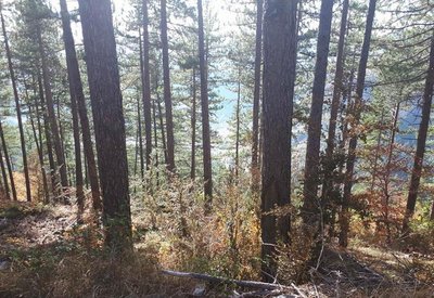
pins noirs - © Sud Cévennes A recent forest
The stands that were planted during the large reforestation programmes of the late 19th century onwards consist of black pines, a rustic species that is well-adapted to dry limestone soils. Underground, the Causses plateaux are characterised by networks of tunnels and cavities that have been created by water movement over millions of years. Subterranean rivers are blocked by the impermeable layers of the valley floor and flow into the Trévezel instead.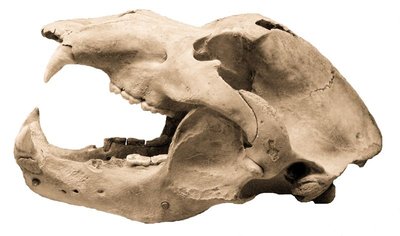
Crâne d'ours - © M. Delor 
Joulie Cave
In March 1952, Jolly, a forestry official, showed his friend Frayssignes this cave. Deposited in it they discovered the remains of 300 humans from the Neolithic, who had been carefully laid out side by side. The cave was rapidly declared a historical monument. In the depths of the cave, a great number of bear bones was also found. This cave bear, the ancestor of our brown bear (Ursus spelaeus), had a skull 50 cm long! In the winter, groups of these bears would have huddled together in clay wallows at the rear of the caves. Ursus artos succeeded the cave bear and was succeeded in turn by the brown bear, which was hunted to extinction in the 15th century. (B. Mathieu)
© Valère Marsaudon 
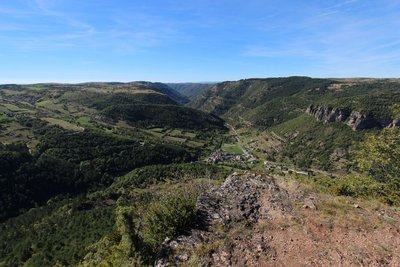
Open-sky geology
The granite and schist (slate) that constitute the bedrock of the Cévennes and Causses were created in the Paleozoic. The bedrock was then flattened by erosion and covered by the sea, leading to limestone deposits. On the reliefs, erosion has eliminated the sedimentary top layer while in zones of subsidence, such as the Causses, the limestone deposits remained in place. Since then, waterways have cut ever deeper into the limestone, and continue to do so today.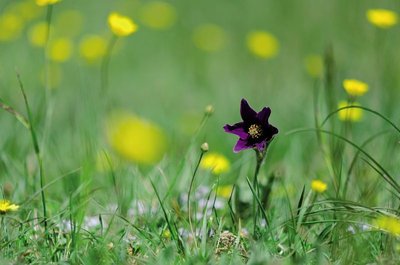
Anémone pulsatille - © Olivier Prohin 
Typical grasslands on limestone soil
This small area of grassland is one of the rare open spaces on the Causse de Canayère. It is of interest for the preservation of certain flower species, especially the pasqueflower and several varieties of orchid. To counteract the natural progression towards more closed environments, this site is maintained by regular mowing.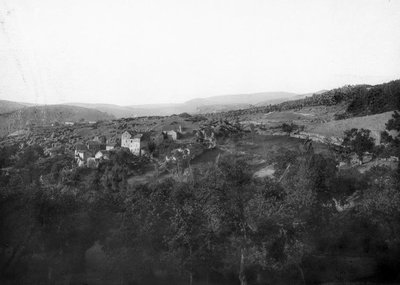
© Fonds Flahault The hamlet of Espruniers
This hamlet, which consisted of a sizeable grouping of houses, was inhabited until about 1930. You have stopped on what was probably the threshing floor for grains.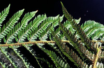
Polystic - © Yves Maccagno The schist/limestone contact zone
Here, the layers of the schist outcrops are almost vertical in places. This contact between Causses and Cévennes, between the primary bedrock and the limestone layers, is due to a geological fault created by the various movements and constraints that have affected the Earth’s crust. In this zone, the schist bedrock has been pushed upwards by several hundred metres along the fault line compared to the limestone plateau, although the latter is less old.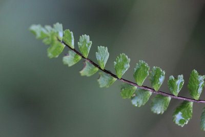
Capillaire - © Valère Marsaudon  Flora
FloraCalcifugous vegetation
This section of the path in the schist zone showcases calcifugous (“limestone-avoiding”) vegetation, which only grows on acid soils (schist or granite): especially chestnut trees, ferns, heather and broom.
Description
Accessible on foot directly from the village of Trèves via Le Villaret hamlet (there and back 4km, elevation gain 330m).
- Departure : Foresters’ house at Canayère
- Arrival : Foresters’ house at Canayère
- Towns crossed : Trèves
Forecast
Altimetric profile
Recommandations
This path has rocky and vertiginous sections. For your own safety, you must stay on the waymarked path.
Information desks

Tourism & national parc'house
Col de la Serreyrède, 30570 Val d'Aigoual
The Maison de l'Aigoual houses the tourism office Mont Aigoual Causses Cévennes and the Maison du Parc national. This visitor centre provides information on and raises awareness of the Cévennes National Park, its sites and events as well as the rules that must be observed in the National Park's central zone.
On site: changing exhibitions, video projections, Festival Nature events and shop Open year-round
Transport
Arrêt: "Trèves"
Lio ligne 108 Trèves Aigoual Le Vigan.
www.lio.laregion.fr
Access and parking
From Trèves, D 47 and D 151 to the Col de la Pierre Plantée pass, then D 710 at the Col des Rhodes pass.
Parking :
Source


Report a problem or an error
If you have found an error on this page or if you have noticed any problems during your hike, please report them to us here: