
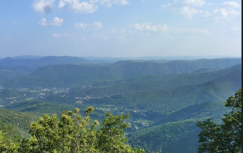
Col de la Cravate pass
8 points of interest
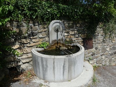
Bréau et Salagosse - N. Thomas 
The village of Bréau
The origin of the name is uncertain. For some, Breono is the Latin form of the Gaulish brogilos, which became brueilh in Occitan. Brueilh means copse, wood. For others, Breono comes from Brannus, an alternative name for Bellenus, a Celtic god. The temple (Protestant church) of Bréau dates from 1845. (...) It has the unusual characteristic of being octagonal; its steps were carved by local craftsmen. The first temple had been destroyed in 1664 by the King’s soldiers, assisted by requisitioned locals.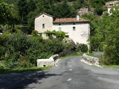
Mars - N. Thomas 
The village of Mars
The village of Mars takes its name from the Latin name Marcius or, according to some, from the God of iron because there used to be iron mining near the village. The forged-iron guardrail at the Mairie (town hall) shows three wild boars and symbolises the interest of a part of the population in hunting.
On the return leg, before entering the village, you will see granite rocks of an astonishing size. On 14 September 1843, torrents of rain fell on Quier mountain, which Mars backs onto.
The rocks were allegedly transported here by the water that day.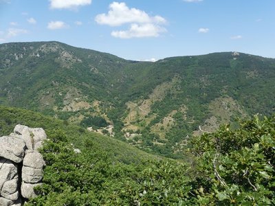
Salagosse - N Thomas The municipality of Bréau-Salagosse
The municipality of Bréau-Salagosse consists of two distinct villages. The older one of the two is Salagosse. Bréau was not founded until the 7th century when part of the population of Salagosse, feeling hemmed in, decided to settle on a sunny slope lower down in the valley. Separated in 1669, the two parishes reunited in 1818. The name of Salagosse probably comes from Feragus, the nickname of a local man-at-arms, meaning “sharp iron”. Its inhabitants are known as salabousards.

Belvédère - Antoine Philippe ONF 
Viewpoint
The forest of the senses opens up for a scenic view. Enjoy!

Reconnaître par les feuilles - Antoine Philippe ONF  Flora
FloraIdentifying trees by their leaves
Puechagut path has a diversity of deciduous trees. This is due to the arboretum and the sunny exposure. Simple or compound leaves, the layout of the leaf veins: learn how to identify eight different varieties of deciduous tree, all of them visible by the edge of the path.

Les résineux et leurs cônes - Antoine Philippe ONF FloraConifers and their cones
Cones are the structures which contain a conifer’s reproductive organs. Most softwood trees have both female cones and male cones. The ones you see on the ground are female. It often takes several years for them to grow on the tree; they open in the heat to liberate the seeds that they contain. Austrian pine, Douglas fir, Atlas cedar: would you be able to tell them by their cones ?

Reconnaître par l'écorce - Antoine Philippe ONF FloraIdentifying trees by their bark
My bark is fissured and comes away in layers; my straight trunks used to be made into ship’s masts – who am I?
Atlas cedar, Douglas fir, Corsican pine, beech: would you be able to tell them by their bark ?

Pépinière en 1903 - ONF Immersion in Puéchagut
Puéchagut gets its name from the local relief: puech means peak or summit, and agut means pointed, hence the translation of “pointed mountain”.
In the old days, the Maison des Cévennes was a farming estate producing livestock and crops grown on terraces. In the late 19th century, it became an arboretum including a forester’s house as part of the vast reforestation programme on the Aigoual massif. What is now the car park used to be one of the 37 tree nurseries.
Description
Signposts will guide you all along this route. In the description below, the signposted place names and/or directions are given in bold italics between quotation marks :
Starting at “ BREAU ”, walk to “ SALAGOSSE ” via :
- “ Fontaine de La Surle ”,
- “ Pied Méjean ”,
- “ Le Pied Méjean ”
- “ Le Pré de Serre ”.
- “ SALAGOSSE ”, continue to “ PUECHAGUT ” via :
- “ Le Devois ”,
- " PUECHAGUT ",
- " Les Perriers ",
- " PRATCOUSTAL "
- " Carnieu ",
- “ SERRES ”. Return to “ BREAU ” via “ Le Pied Méjean ”, “ Pied Méjean ” and “ Fontaine de La Surle ”.
This walk is taken from the guidebook Les Vallées Cévenoles - En Pays Viganais, published by the Communauté de communes Pays Viganais-Cévennes as part of the collection Espaces Naturels Gardois and the label Gard Pleine Nature.
- Departure : Bréau
- Arrival : Bréau
- Towns crossed : Bréau-Mars, Mars, Arphy, and Aulas
Forecast
Altimetric profile
Recommandations
Make sure your equipment is appropriate for the day’s weather conditions. Remember that the weather changes quickly in the mountains. Take enough water, wear sturdy shoes and put on a hat.
Information desks
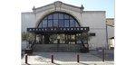
Tourism office Cévennes and Navacelles, Le Vigan
Maison de pays, place du Marché, BP 21, 30120 Le Vigan
This office is part of the National Park's associated tourist-information network, whose mission is to provide information on, and raise awareness of, the sites and events as well as the rules that must be observed in the National Park's central zone.
Open year-round
Transport
Alés bus line 142
Nîmes line 140
Montpellier line 608
LIO bus line 104
LIO Région Occitanie - https://lio.laregion.fr/
Access and parking
From Alès or Nîmes take the D999 towards Le Vigan. After Avèze, take the D48 then the D251 to Bréau.
Parking :
Source


Report a problem or an error
If you have found an error on this page or if you have noticed any problems during your hike, please report them to us here: