
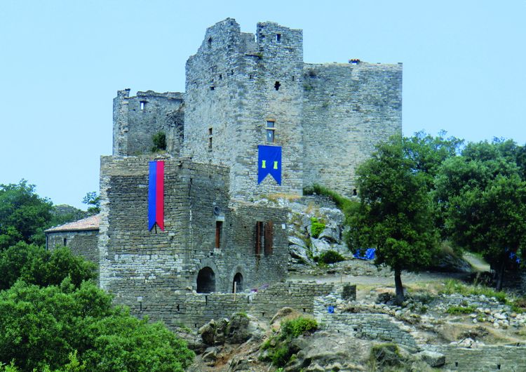
Château de Montalet
4 points of interest
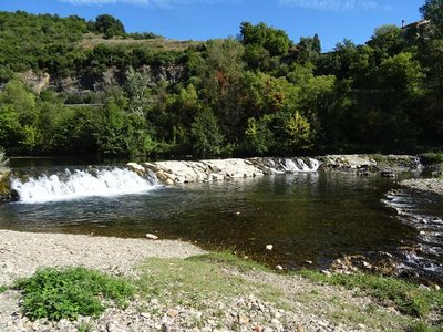
La Cèze - © JF.Raulet 
The Cèze
A study carried out into the navigability of the Cèze by boat was a failure: the river’s flow is not regular enough. While its level is sometimes very low in summer due to drought, the Cèze can be dangerously unpredictable: it can reach exceptional heights in just a few hours. With its spring 25 km upstream in the Cévennes mountains, it receives all the surface runoff during storms, which considerably increases its flow.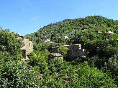
Meyrannes et le Montgrillet - JF.RAULET Le Montgrillet
Le Montgrillet is the hillock above the village. The population of Meyrannes used to be overwhelmingly farmers, who lived on what they grew. Le Montgrillet is exposed to the sun and close to the village, and was the ideal spot for farming. Evidence for this can be seen all along the path. The grove of olive trees above the path indicates one of the crops once grown in Meyrannes, along with grapes and mulberry trees (for leaves to feed to silkworms). (B. Mathieu)
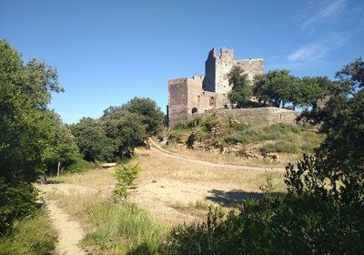
Château de Montalet - © JF.Raulet 
Montalet Castle
This is one of the largest feudal castles in the Cévennes. Its purpose is believed to have been surveillance of the area located between the Régordane Way and access to the Ardèche valley. Its ramparts were originally flanked by seven towers. Its shape on the ground seems to represent a bird’s wing, perhaps as a reminder of the coat of arms of the Bérard de Montalet family. The castle seems to have been abandoned by the Bérard de Montalet as early as the 15th century. Since 1985, an association of volunteers has been working to restore it. A mediaeval day is organised in the first half of May.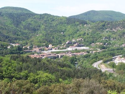
Molières - © O.Pagès 
A mining past
The track going down to Molières is dotted with remnants from a flourishing mining past. In a large bend, you can spot a former slag heap now covered by pines. A little further, a sort of large keep reminds us that there is a mine shaft. Further still, you will see a footbridge that the miners used every day to get back to their homes, some of which were several kilometres away.
Description
Starting from "MOLIÈRES-SUR-CÈZE", head towards "CHATEAU DE MONTALET" via "Molières - La Borie" and "Les Bassins". Then walk towards "Le Petit Montèze" and "Mas Loubet" until you reach "Plateau du Mas Neuf", before going back down to "MOLIÈRES-SUR-CÈZE".
This hike is taken from the guidebook Cévennes Haute Vallée de la Cèze, published by the Communauté de communes Cèze Cévennes as part of the collection Espaces Naturels Gardois and the label Gard Pleine Nature.
- Departure : Molières sur Cèze
- Arrival : Molières sur Cèze
- Towns crossed : Molières-sur-Cèze, Saint-Ambroix, and Saint-Jean-de-Valériscle
Forecast
Altimetric profile
Recommandations
Information desks

Tourism office CezeCévennes, Bessèges
14 rue de la République, 30160 Bessèges
This office is part of the National Park's associated tourist-information network, whose mission is to provide information on, and raise awareness of, the sites and events as well as the rules that must be observed in the National Park's central zone.
Open year-round
Tourism office Cèze-Cévennes Saint-Ambroix
Place de l'ancien Temple, 30500 Saint-Ambroix
This office is part of the National Park's associated tourist-information network, whose mission is to provide information on, and raise awareness of, the sites and events as well as the rules that must be observed in the National Park's central zone.
Open year-round
Transport
liO is the regional public transport service of the Occitanie/ Pyrénées – Méditerranée region. It facilitates everyone’s movements by prioritising public transport. For more information, call 08 10 33 42 73 or go to www.laregion.fr
Access and parking
Parking :
Source


Report a problem or an error
If you have found an error on this page or if you have noticed any problems during your hike, please report them to us here: