
La boucle d'Ardaillers
5 points of interest
Valleraugue - nathalie.thomas 
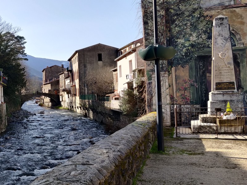
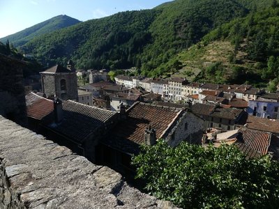
Valleraugue
Valleraugue is believed to derive from "vallis eraugia", the Hérault valley. With its 7,834 hectares, the town extends from the Hérault valley to the summit of Mont Aigoual. Valleraugue is located on an important transportation route between the garrigues and the uplands, and once had up to 4,192 inhabitants (1851). Just over a century ago, in 1907, Abbot Fesquet wrote in his monograph on the village: "The population has been reduced to 2,500 souls. There was a time when it was difficult to find lodgings, says a 1773 town council deliberation. Nowadays, accommodation is plentiful...". In the 2007 census, the population was 1,081.

Montée au dessus de Valleraugue - © Michel Monnot  Flora
FloraMediterranean level
To begin with, the path is in the holm-oak altitudinal zone. Holm oaks tend to grow on the Mediterranean side of the watershed, where they are plentiful up to an altitude of about 500 m. Here, they have been eradicated to create crop terraces. On the either side of the path, which runs between high walls and has steps that give access to gardens, you can still see these terraces, now invaded by or planted with conifers. Like the holm oak, the tree heath and strawberry trees that are also present are typically Mediterranean species. Plants in this zone are xerophile, meaning that they thrive in dry environments. They are well-adapted because their small and glazed leaves limit water evaporation.
Valleraugue - nathalie.thomas 1703
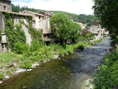
In Valleraugue, exporting chestnuts in times of famine or trouble was forbidden by law. In 1703, however, during the Camisard War, an official decree ordered the inhabitants to transport their chestnuts and cereals to other villages. This was to deprive the insurgents, who were supported by the locals, of provisions. The goods were guarded, and the inhabitants only kept two weeks’ worth in reserve.
Figayrole - Nathalie Thomas Figayrole
In 1692 a clandestine gathering of Protestants – who were meeting to practice their religion, banned in 1685 by Louis XIV – was surprised here. Dozens or even hundreds of people might attend such gatherings. When they were caught in the act, the community was severely punished. Families that were directly involved ran the risk of being sent to the galleys, having their property confiscated and having their children taken away from them.
Notre-Dame en fond - Michel Monnot Notre-Dame-de-la-Rouvière
Notre-Dame-de-la-Rouvière (from rovière, an area planted with English oaks) is one of the few villages in the Protestant Cévennes that remained entirely Catholic during the Camisard War, despite acts of intimidation. In the early 17th century, a Huguenot leader, the Duke of Rohan, wanted to force Catholic communities to convert to Protestantism. He rounded up the notables of Saint-Martial, Saint-André-de-Majencoules and Notre-Dame-de-la-Rouvière to make them renounce their faith. Terrified, they accepted the Duke’s proposal but only on condition of a pact of "recobre" (redemption). The duke, unaware of the meaning of the word, signed the treaty.
After the Peace of Nîmes, the three communities thus returned to the bosom of the Catholic Church in accordance with the condition that they had imposed. (Ici en Cévennes, joint publication with the state school in Notre Dame de la Rouvière, 1994)
Description
From Valleraugue, head to Le Vigan on the D986.
- Take the D294 to Ardaillès, then to Mas Gilbert.
- Bike to Notre-Dame de la Rouvière on the D152a.
- At Notre-Dame de la Rouvière, return to Valleraugue on the D152 and D986.
Possibility of start from Notre-Dame de la Rouvière.
- Departure : Valleraugue
- Arrival : Valleraugue
- Towns crossed : Val-d'Aigoual and Notre-Dame-de-la-Rouvière
Forecast
Altimetric profile
Recommandations
Before committing yourself to a circuit, ensure that it is suitable for your activity level and ability. Respect traffic laws and other road users; stay in control of your speed and trajectory. Make sure to be seen and travel in single file when in a group. Remember that the weather changes quickly in the mountains. Take enough water. Safe trip !
Information desks

Tourism & national parc'house
Col de la Serreyrède, 30570 Val d'Aigoual
The Maison de l'Aigoual houses the tourism office Mont Aigoual Causses Cévennes and the Maison du Parc national. This visitor centre provides information on and raises awareness of the Cévennes National Park, its sites and events as well as the rules that must be observed in the National Park's central zone.
On site: changing exhibitions, video projections, Festival Nature events and shop Open year-round

Tourism office Mont Aigoual Causses Cévennes, Valleraugue
7 quartier des Horts, 30570 Valleraugue
This office is part of the National Park's associated tourist-information network, whose mission is to provide information on, and raise awareness of, the sites and events as well as the rules that must be observed in the National Park's central zone. : Open year-round
Access and parking
From Camprieu or Le Pont d’Hérault, take the D986 to Valleraugue.
Parking :
Source

Report a problem or an error
If you have found an error on this page or if you have noticed any problems during your hike, please report them to us here: