
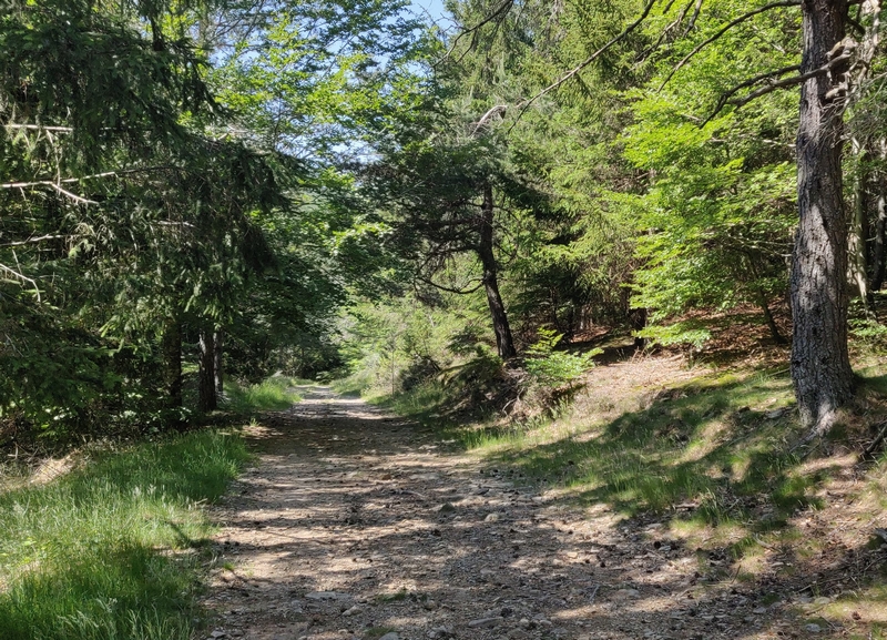
MTB 4 - L’Espérou mountain – graded blue
2 points of interest

Village de l'Espérou - Béatrice Galzin 
The village of L’Espérou
The village of L’Espérou lies on the border of Dourbies and Valleraugue local councils. A draille (track for livestock to migrate to summer pastures with their shepherds) crosses the village. As in many villages in the Gard, the two places of worship – one Catholic, the other Protestant – are opposite each other. The village is located in a varied environment that is suitable for outdoor activities and sports.


The watershed
The watershed goes through the village of L’Espérou. This natural limit is also the border between the two municipalities of Val d’Aigoual and Dourbies. The rain that falls on and runs off the Valleraugue side continues to the Mediterranean. The water that flows towards Dourbies does not follow the same route and ends up in the Atlantic…
Description
Signposts will guide you all along this route. In the description below, the signposted place names and/or directions are given in bold italics between quotation marks:
From “Halle de l’Espérou”, take the road on the left.
- At “La Halle”, take the track on the right and continue to
- “Les Douzes”.
Turn right towards - “Font des Douzes”.
Turn left to “Pueylong”. - At “Pueylong” re-join the road on the left for 900 m and take the single track leading to
- “Bois du Mas Méjean”,
- “Route Dhombres”.
Cross the road and take, on your right, the single track all the way to - “Le château”, then turn left on the road towards
- “Carrefour” before returning to “La halle de l'Espérou”.
This walk is taken from the guidebook Massif de l’Aigoual, published by the Communauté de communes Causses Aigoual Cévennes as part of the collection Espaces Naturels Gardois and the label Gard Pleine Nature.
- Departure : L’Espérou
- Arrival : L’Espérou
- Towns crossed : Dourbies, Bréau-Mars, Arphy, and Val-d'Aigoual
Forecast
Altimetric profile
Recommandations
Before committing yourself to a circuit, ensure that it is suitable for your activity level and ability. You must wear a helmet; further protective equipment is recommended. Respect other road users and stay in control of your speed and trajectory. Make sure your equipment is appropriate for the day’s weather conditions. Remember that the weather changes quickly in the mountains. Take enough water. Please close all gates and barriers behind you. No off-roading.
Information desks

Tourism & national parc'house
Col de la Serreyrède, 30570 Val d'Aigoual
The Maison de l'Aigoual houses the tourism office Mont Aigoual Causses Cévennes and the Maison du Parc national. This visitor centre provides information on and raises awareness of the Cévennes National Park, its sites and events as well as the rules that must be observed in the National Park's central zone.
On site: changing exhibitions, video projections, Festival Nature events and shop Open year-round

Tourism office Mont Aigoual Causses Cévennes, Valleraugue
7 quartier des Horts, 30570 Valleraugue
This office is part of the National Park's associated tourist-information network, whose mission is to provide information on, and raise awareness of, the sites and events as well as the rules that must be observed in the National Park's central zone. : Open year-round
Transport
liO is the regional public transport service of the Occitanie/ Pyrénées – Méditerranée region. It facilitates everyone’s movements by prioritising public transport. For more information, call 08 10 33 42 73 or go to www.laregion.fr
Access and parking
From Valleraugue, take the D986 to L’Espérou
Parking :
Source


Report a problem or an error
If you have found an error on this page or if you have noticed any problems during your hike, please report them to us here: