
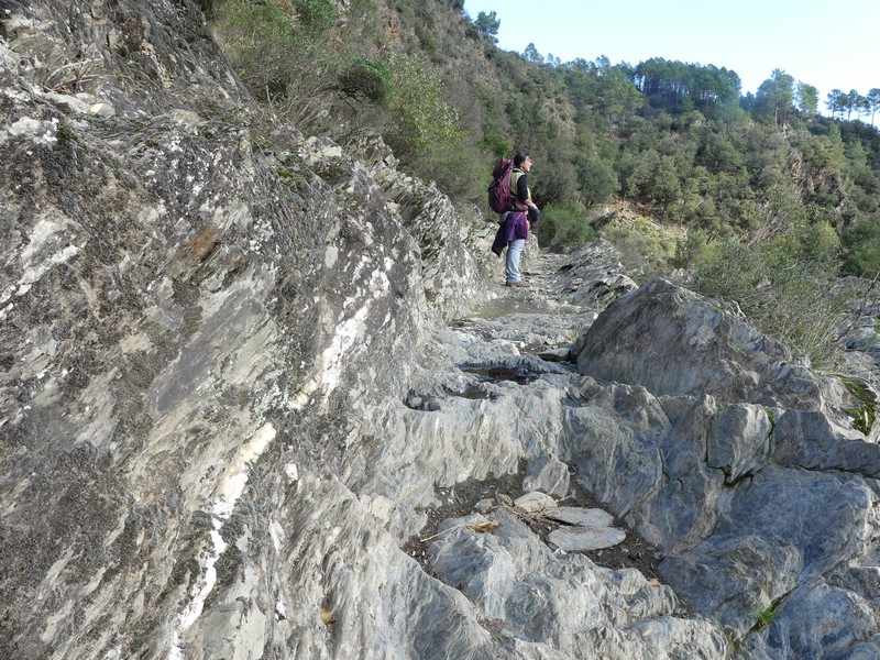
Goats’ Bridge
Deep in the Borgne valley, enjoy a short circuit around the Gardon river. Despite its tranquil appearance, its riverbed has seen much water flow past, some of it furiously memorable. As you pass from the adret (sunny side) to the ubac (shaded side), you will also be able to gauge the extent to which humans have shaped the Cévenol landscape whilst adapting to it.
4 points of interest

Village de Saumane - Nathalie Thomas 
Saumane
Centrally located in the Vallée Borgne, Saumane suffered heavily during the conflicts between Camisards and the King’s troops in 1703. The village and its outlying hamlets were pillaged and burnt, the villagers deported. In the 18th and 19th centuries, the Golden Age of silkworm farming, Saumane was resplendent again. It had two silk spinning mills and about 500 inhabitants.
During World War II, Saumane was a support centre for the Cevenol Resistance.
Today, its inhabitants focus their energy on nature discovery and sustainable tourism.
La ravine de la chèvre ou Pisse Cabre - Gabin Lasherme Cabrigoule
The land register of 1663 has toponymic traces of cabri in the Occitan expression cabrigoule, which could be translated as “goat ravine”.

La crue centenaire du 19 septembre 2020 à Saumane - Gabin Lasherme 
Cévenol episodes and gardonnades
Flooding is a recurrent phenomenon in the Cévennes, including in the Borgne valley. Catastrophic inundations have been recorded since 1295, especially in 1790, 1826, 1848, 1890/1891, 1900, 1907, 1958 and 2002. In the most recent flood to date, on 19 September 2020, the villages of the Borgne and Valleraugue valleys were hit hard.
The sea is about a hundred kilometres away, and the south wind (the marin), pushes clouds full of water towards the Cévenol massifs where, depending on circumstances, they can cause violent storms. The Cévennes mountains are steep, making the rain run off into the torrents. The Gardon river below swells impetuously in a few hours, displacing a lot of matter and ripping out vegetation.
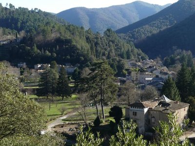
Vue sur l'Estréchure - Nathalie Thomas Château de L’Hom
Originally, the name of L'Hom indicates that an elm tree – the tree of justice – was planted outside the building. The massive square building is first mentioned in 1405. It has had a long painful history, emblematic of the Wars of Religion. The château was home to a garrison until 1767, when it was bought a family of industrialists, the Teissonnières. In the summer of 1944, it was the HQ of the general staff of the French Forces of the Interior (united Resistance units) of the Gard and lower Lozère, under the authority of Commandant Audibert.
The association L’Enfance Ouvrière subsequently bought it to turn it into a holiday colony. It is now a campsite.
Description
Signposts will guide you all along this route. In the description below, the signposted place names and/or directions are given in bold italics between quotation marks:
From “Saumane” village square, walk towards “CHÂTEAU DE L’HOM” via “Pont de Saumane”.
- At “Pont de Saumane”, cross the river towards “Cabrijoule”.
- At the signpost “Cabrijoule”, go right towards “CHÂTEAU DE L’HOM”.
- Before the entrance to the campsite, at the signpost “CHÂTEAU DE L’HOM”, turn right towards “La Bécédelle”.
- At the entrance to “La Bécédelle”, turn right towards “Saumane” and join the D907 road.
- At the road, turn left to return to the village and the car park.
- Departure : Saumane
- Arrival : Saumane
- Towns crossed : Saumane
Forecast
Altimetric profile
Recommandations
NB: The return leg is on the D907 road.
Make sure your equipment is appropriate for the day’s weather conditions. Remember that the weather changes quickly in the mountains. Take enough water, wear sturdy shoes and put on a hat.
Information desks

Tourism & national parc'house
Col de la Serreyrède, 30570 Val d'Aigoual
The Maison de l'Aigoual houses the tourism office Mont Aigoual Causses Cévennes and the Maison du Parc national. This visitor centre provides information on and raises awareness of the Cévennes National Park, its sites and events as well as the rules that must be observed in the National Park's central zone.
On site: changing exhibitions, video projections, Festival Nature events and shop Open year-round

Tourism office Mont Aigoual Causses Cévennes, Saint-André-de-Valborgne
les quais, 30940 Saint-André-de-Valborgne
This office is part of the National Park's associated tourist-information network, whose mission is to provide information on, and raise awareness of, the sites and events as well as the rules that must be observed in the National Park's central zone.
Access and parking
From St-Jean-du-Gard, take the D907 towards St-André-de-Valborgne via L’Estréchure and then Saumane.
Parking :
Source


Report a problem or an error
If you have found an error on this page or if you have noticed any problems during your hike, please report them to us here: