
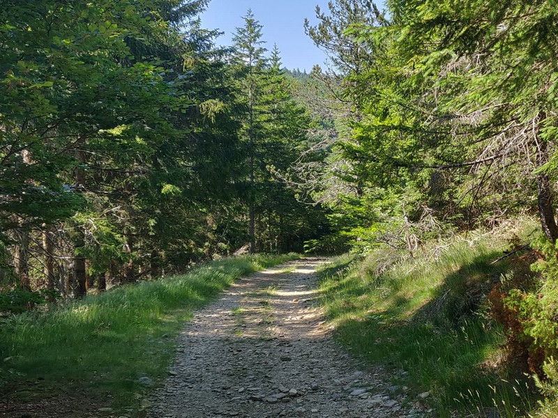
Around L’Espérou (Trail)
1 point of interest

Village de l'Espérou - Béatrice Galzin 
The village of L’Espérou
The village of L’Espérou lies on the border of Dourbies and Valleraugue local councils. A draille (track for livestock to migrate to summer pastures with their shepherds) crosses the village. As in many villages in the Gard, the two places of worship – one Catholic, the other Protestant – are opposite each other. The village is located in a varied environment that is suitable for outdoor activities and sports.
Description
Signposts will guide you all along this route. In the description below, the signposted place names and/or directions are given in bold italics between quotation marks :
From “Halle de l’Espérou” , run to “Les Douzes” via:
- “La Halle”.
- From “Les Douzes”, return to “Halle de l’Espérou” via:
- “La Bascule”,
- “Route Dhombres”,
- “Le Château” and
- “Carrefour”.
This trail is taken from the guidebook Massif de l’Aigoual, published by the communauté de communes Causses Aigoual Cévennes as part of the collection Espaces naturels gardois and the label Gard Pleine nature.
- Departure : L’Espérou
- Arrival : L’Espérou
- Towns crossed : Dourbies and Val-d'Aigoual
Forecast
Altimetric profile
Recommandations
Before committing yourself to a circuit, ensure that it is suitable for your activity level and ability. Remember that the weather changes quickly in the mountains. Take enough water. Please close all gates and barriers behind you.
Information desks

Biosphera
18, rue vincent Faita, 30480 Cendras
Transport
LiO is the regional public transport service of the Occitanie/ Pyrénées – Méditerranée region. It facilitates everyone’s movements by prioritising public transport. For more information, go to the lio Occitanie app or visit https://www.mestrajets.lio.laregion.fr
Access and parking
From St-Sauveur-Camprieu, take the D986. At the Col de La Serreyrède pass, turn right towards L’Espérou. At the roundabout, turn right. Car park.
From Valleraugue, take the D986 to L’Espérou. At the roundabout, continue straight ahead. Car park.
Parking :
Source


Report a problem or an error
If you have found an error on this page or if you have noticed any problems during your hike, please report them to us here: